
|
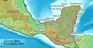
This map shows where Maya is in the Hispanic area. Not just that, but, it shows the different parts of the Mayan empire. The little dots represent the capitol of that city. Like the articles said, the cities are a few miles apart. You can see that in this map.
|
The Mayan Empire Climate Map
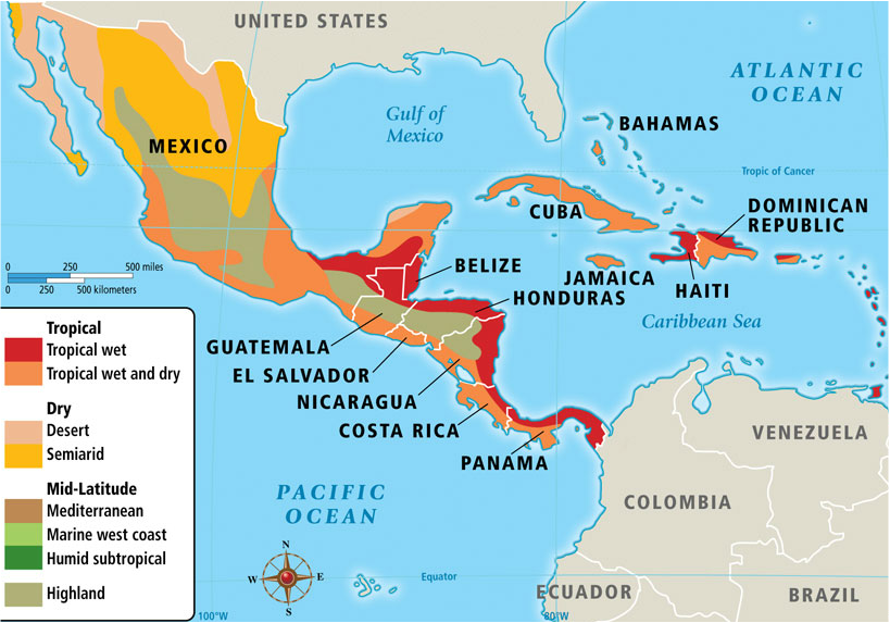
The Mayan Empire is mostly tropical, some parts are like the Marine west coast, but mainly like tropical wet; and tropical wet and dry.
The box in the bottom left shows the color code and the climate change for the Mayan Empire.
Mayan Empire Political Map
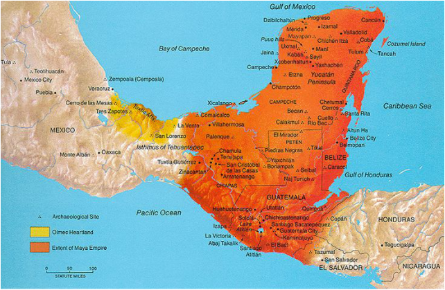
This Picture is showing the Mayan Empire Political map which show the Olmec and Extent of the Maya Empire.
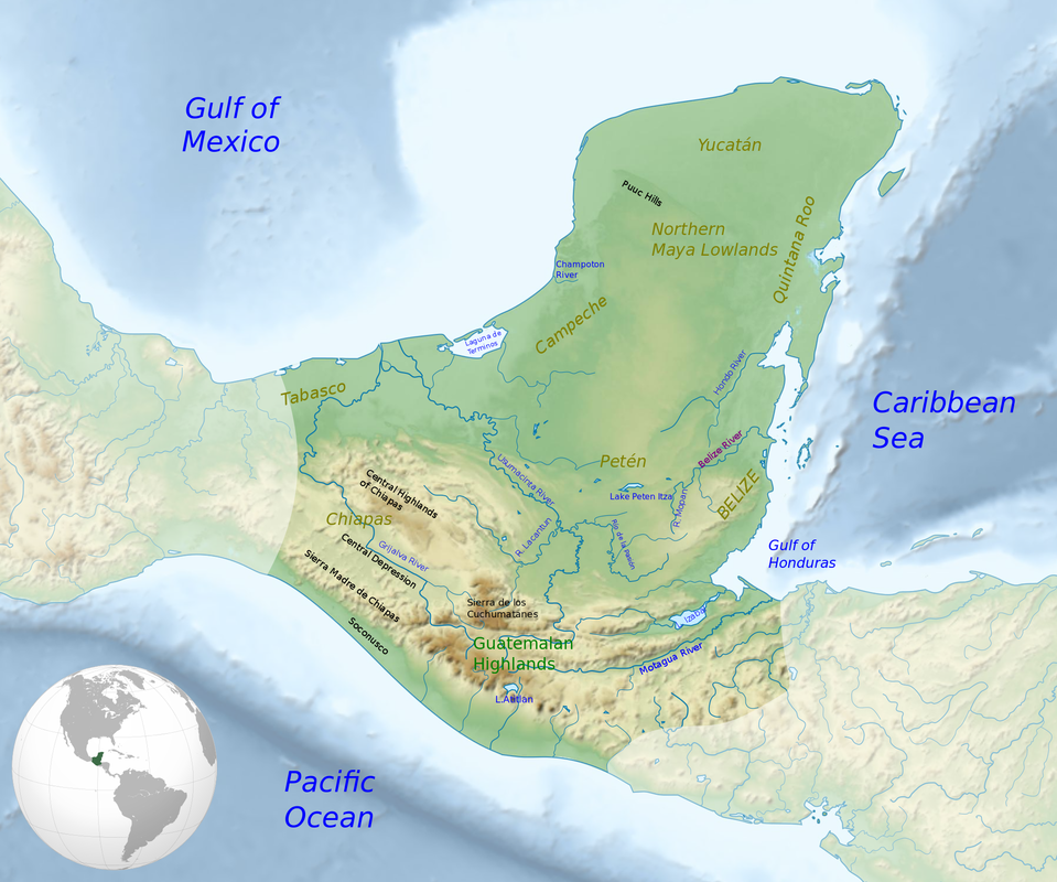
Mayan Empire Physical Map
put info
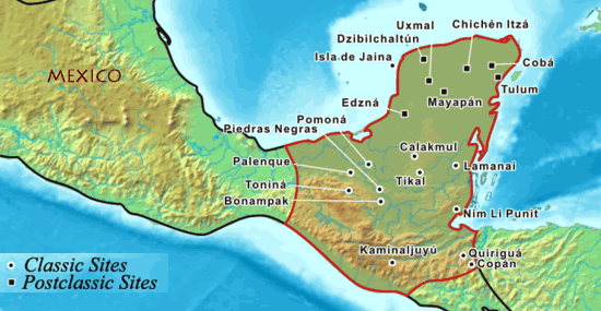
Mayan Empire Topographic map
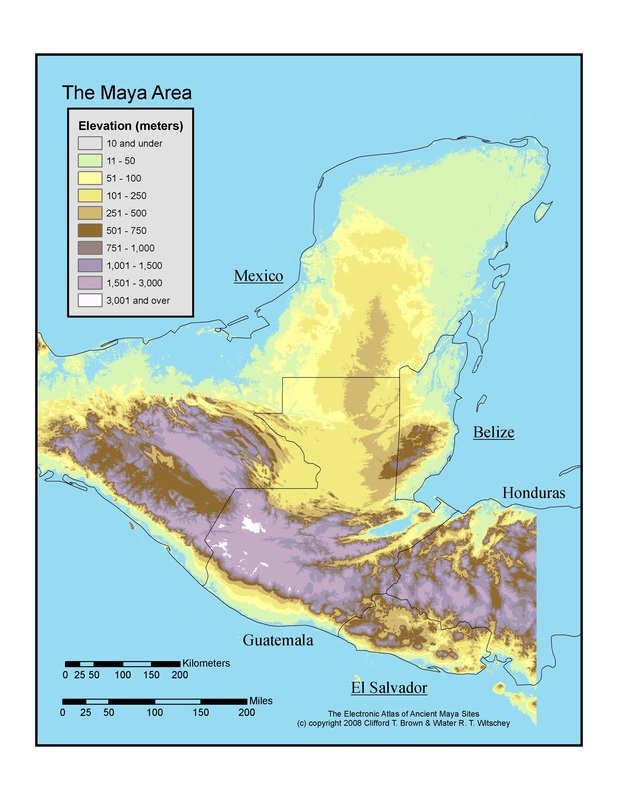
put info about image
Mayan Empire Economic Map
Put info about image